Sssstrike
Combine the battle ship game with a variety of other games during this fun team competition.
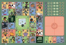
Game details
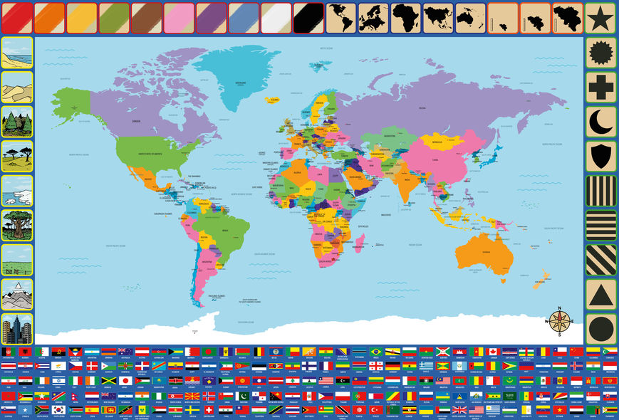
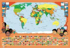
During the game, all players have on other player guess a country by just describing the country and/or country flag using the icons on the boarder of the game board.
The player who is going to guess, steps away so he doesn't know which country the group chooses.
Once the country is chosen, the player who is going to guess returns to the group.
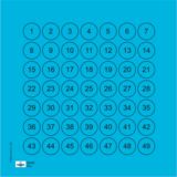
Than the players take turns placing a bottle cap on an icon on the board to try to help the player who is going to guess the country. They can, of course, help each other choose the icons that best characterise the country or the flag of the country.
The player may guess as many times as he wants. However, the other players can only answer with yes or no to these guesses.
If the player has guessed the country correctly, they earn a point.
If the player cannot guess the country and gives up, the other players reveal the animal.
Now, another player can guess a country.
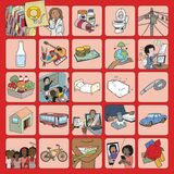
On the border of the poster, you can find different characteristics that can be linked to the countries. Each characteristic has a coloured border. The characteristics with the same-coloured border, belong to the same category. The icons are depicting (starting from bottom left clockwise):
If you have played this game please help inform other people by giving a review.
Don’t hesitate, share your feedback and help others to pick the right games. Tell us how it was and how the children reacted? Or do you have any advice for other players, a fun variation, a possible improvement?
![]()
We very much appreciate your effort in writing the review.

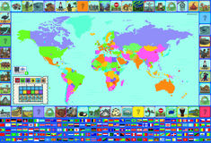
Game details

Game details

Game details
Cookies saved