Détails du jeu
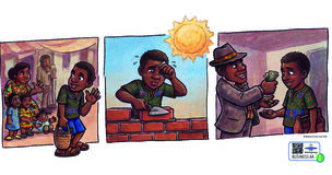
 Ceci est le texte d'origine en anglais.
Retournez à la traduction du/de l' français.
Ceci est le texte d'origine en anglais.
Retournez à la traduction du/de l' français.
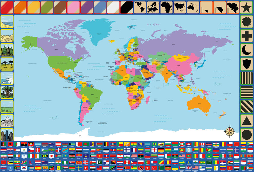
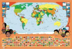
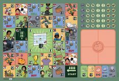
During the game, all players have on other player guess a country by just describing the country and/or country flag using the icons on the boarder of the game board.
The player who is going to guess, steps away so he doesn't know which country the group chooses.
Once the country is chosen, the player who is going to guess returns to the group.
Than the players take turns placing a bottle cap on an icon on the board to try to help the player who is going to guess the country. They can, of course, help each other choose the icons that best characterise the country or the flag of the country.
The player may guess as many times as he wants. However, the other players can only answer with yes or no to these guesses.
If the player has guessed the country correctly, they earn a point.
If the player cannot guess the country and gives up, the other players reveal the animal.
Now, another player can guess a country.
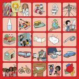
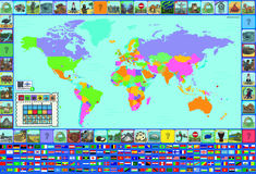
On the border of the poster, you can find different characteristics that can be linked to the countries. Each characteristic has a coloured border. The characteristics with the same-coloured border, belong to the same category. The icons are depicting (starting from bottom left clockwise):
Si vous avez joué à ce jeu, aidez-nous à informer les autres en donnant votre avis.
N'hésitez pas à partager vos commentaires et aidez les autres à choisir les bons jeux. Dites-nous comment cela s'est passé et comment les enfants ont réagi? Ou avez-vous des conseils pour les autres joueurs, une variante amusante, une amélioration possible?
![]()
Nous apprécions beaucoup vos efforts dans la rédaction de la critique.

Détails du jeu

Détails du jeu

Détails du jeu
Connectez-vous ou inscrivez-vous pour ajouter à vos favoris
Cookies enregistrés